Moving cities forward

John E. Kaye
- Published
- Business Travel, Home, Technology

The EU’s GALILEO 4 Mobility project uses geospatial technologies to advance urban mobility, so getting from A to B within a city has never been easier
Urban mobility is evolving faster than ever. With innovations such as Mobility as a Service (MaaS) allowing travellers to access different mobility services via a click of their smartphone, moving around a city has never been easier. However, this can only happen if the location information is readily available and accurate. When making a journey using different modes of transport, real-time geopositioning of users and vehicles plays a key role. And besides being needed for planning transport routes, it also allows for on-board information that informs passengers about disruptions.
Piloting makes perfect
The European GNSS Agency (GSA) advances the use of geolocation technologies to improve urban mobility through various initiatives. One of its key projects, GALILEO 4 Mobility, focuses specifically on GALILEO technology, the Global Navigation Satellite System (GNSS) created by the EU. Starting in 2017, the project adopts GALILEO technology within a MaaS context, enhancing the continuity and ease of shared mobility services in urban environments. GALILEO 4 Mobility features a consortium of 11 partners, the International Association of Public Transport (UITP) is among them, and is coordinated by engineering company Pildo Labs.
The core component of GALILEO 4 Mobility involves a series of pilots: the project is conducting demonstrations in and around Barcelona, Paris, and Thessaloniki. While different in execution, the pilots test and evaluate how mobility services can be improved by integrating GALILEO technology – from a taxi-sharing service in Thessaloniki, to a shared e-bike service in Paris, and the MaaS application in Barcelona.
Improving mobility in Barcelona
The last of the pilots began in February, and included a bus-on-demand pilot in Cervelló, a small town near Barcelona. This is a collaboration between Pildo and Metropolitan Area of Barcelona (AMB) and addresses the low usage of bus services in the area. During the pilot, a GALILEO-enabled bus complements the existing lines and routes according to demand. Using an app, citizens can reserve seats by indicating origin, destination, and time of desired trip. GALILEO technology provides users with a more precise positioning of the vehicle, and helps drivers to correctly execute the planned itinerary.
The pilot will provide valuable lessons to AMB. Insights will be used to validate the suitability of on-demand bus services for low density areas and – if the pilot gives positive results – the service could be deployed in many other territories, including those where it wasn’t economically viable before.
GALILEO 4 Mobility was completed on 30 June, but the wider work continues. Pildo Labs recently launched project spin-off Nemi: a tool that commercialises developments made during the project enabling the operation of demand-responsive public transport services. Finally, in January GSA launched ARIADNA, a new project that to some extent can be considered as a natural continuation of Galileo 4 Mobility. It also promotes the benefits of deploying this technology in public transport and supports the creation of strategic partnerships between EGNSS and urban mobility/public transport actors.
Galileo 4 Mobility received funding from the European Global Navigation Satellite Systems Agency under grant agreement No 776381.
Further information
RECENT ARTICLES
-
 Cybersecurity becomes Britain’s most sought-after tech skill as pay and hiring surge
 -
 AI now trusted to plan holidays more than work, shopping or health advice, survey finds
 -
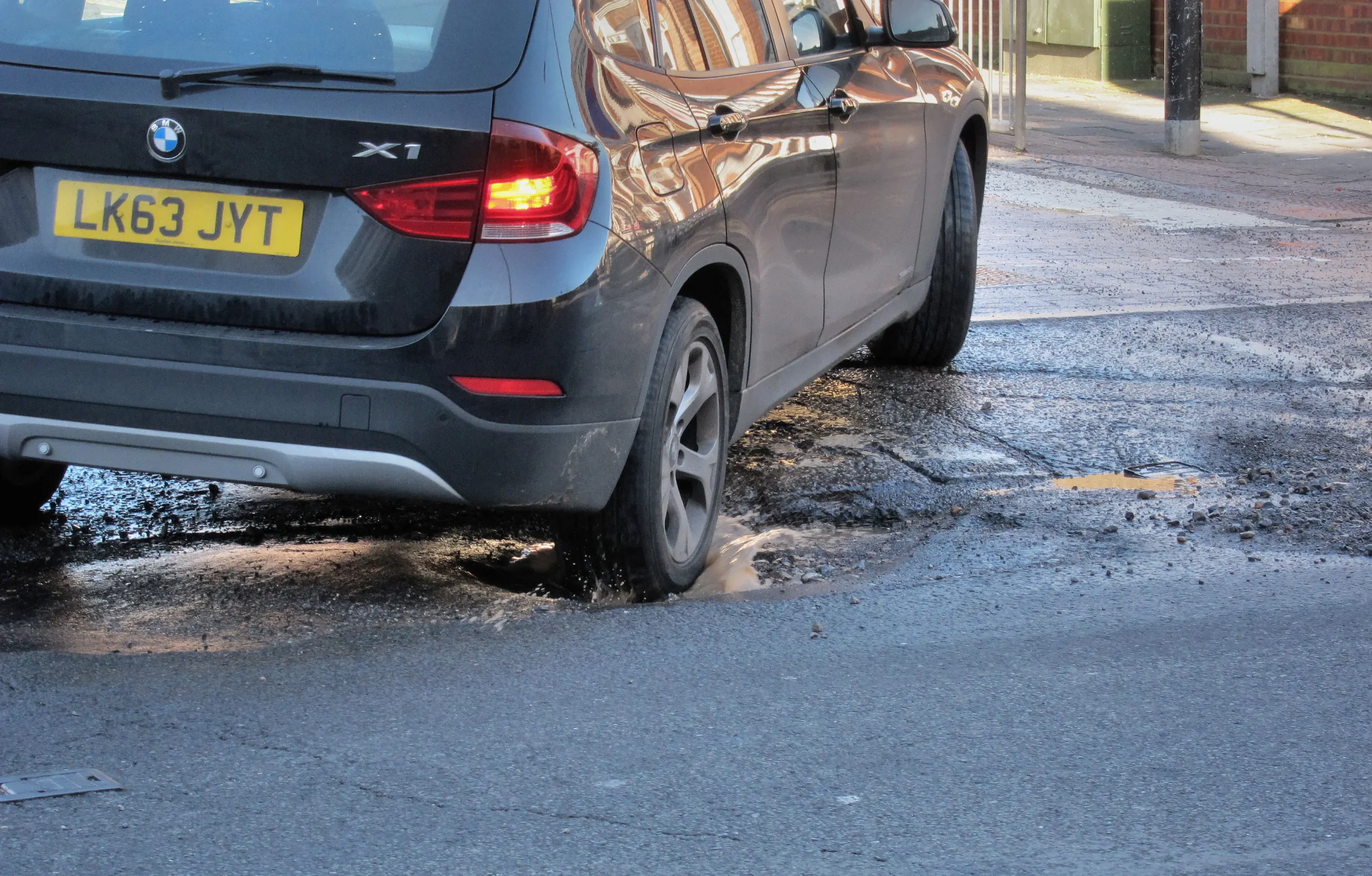
Could AI finally mean fewer potholes? Swedish firm expands road-scanning technology across three continents
-
Government consults on social media ban for under-16s and potential overnight curfews
-
Twitter co-founder Jack Dorsey cuts nearly half of Block staff, says AI is changing how the company operates
-
AI-driven phishing surges 204% as firms face a malicious email every 19 seconds
-
Deepfake celebrity ads drive new wave of investment scams
-
Europe eyes Australia-style social media crackdown for children
-
Europe opens NanoIC pilot line to design the computer chips of the 2030s
-
Building the materials of tomorrow one atom at a time: fiction or reality?
-
Universe ‘should be thicker than this’, say scientists after biggest sky survey ever
-
Lasers finally unlock mystery of Charles Darwin’s specimen jars
-
Women, science and the price of integrity
-
Meet the AI-powered robot that can sort, load and run your laundry on its own
-
UK organisations still falling short on GDPR compliance, benchmark report finds
-
A practical playbook for securing mission-critical information
-
Cracking open the black box: why AI-powered cybersecurity still needs human eyes
-
Tech addiction: the hidden cybersecurity threat
-
Parliament invites cyber experts to give evidence on new UK cyber security bill
-
ISF warns geopolitics will be the defining cybersecurity risk of 2026
-
AI boom triggers new wave of data-centre investment across Europe
-
Make boards legally liable for cyber attacks, security chief warns
-
AI innovation linked to a shrinking share of income for European workers
-
Europe emphasises AI governance as North America moves faster towards autonomy, Digitate research shows
-
Surgeons just changed medicine forever using hotel internet connection